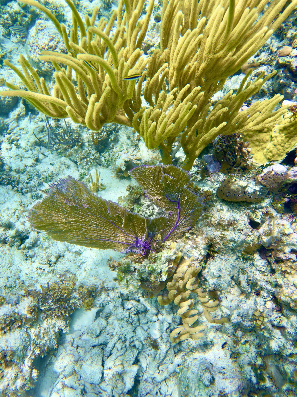
Guana Cay Elkhorn Coral Reef appears by name on the Elizabeth Harbour conservation partnership’s snorkel map. It lies by Guana Cay in the harbour, distinct from the Fowl Cay restoration site farther along the island chain. The map’s habitat symbols identify coral reef and seagrass at the Guana Cay stop.
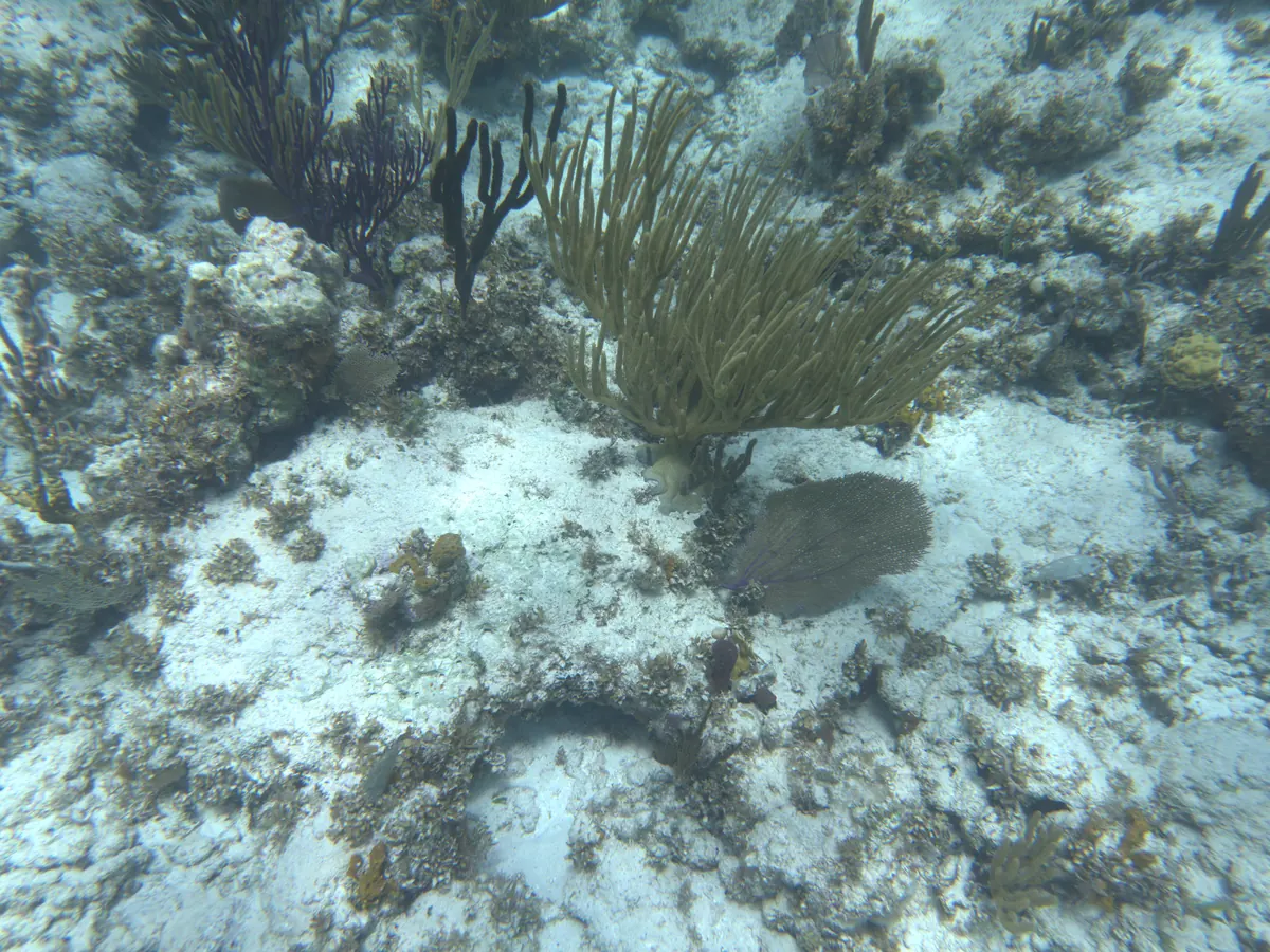
Practical visitor information
Use the full name and Elizabeth Harbour when speaking to a guide. Several Bahamian islands are called Guana Cay. Ask whether a visit is suitable for the day’s conditions and view coral from a distance. The old map establishes the site name, not the current condition of a colony or mooring.
Sources for this guide
Public web sources checked .
Last reviewed .
Rating
No traveler ratings yet.
Location
Guana Cay, Elizabeth Harbour, Bahamas
Suggest a correction · Include the page URL and supporting source. Suggestions await editorial review. Editorial policy