Tides, weather, swells
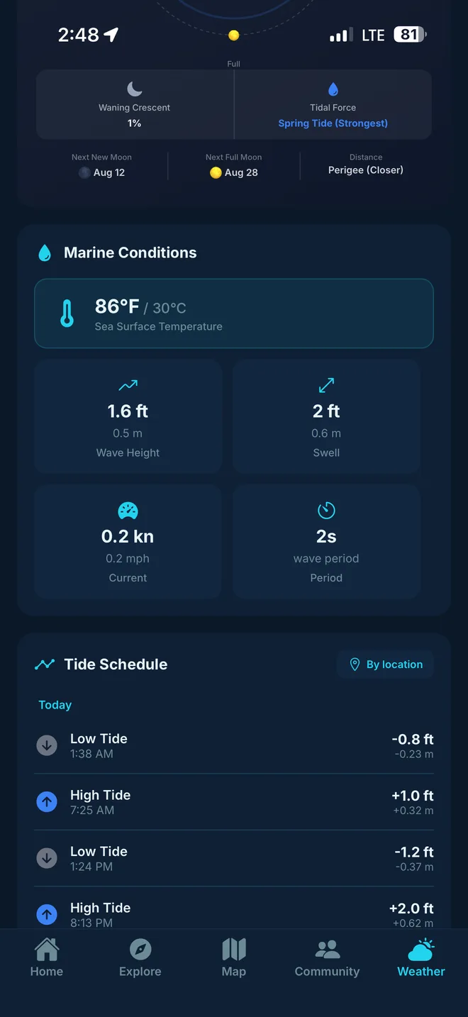
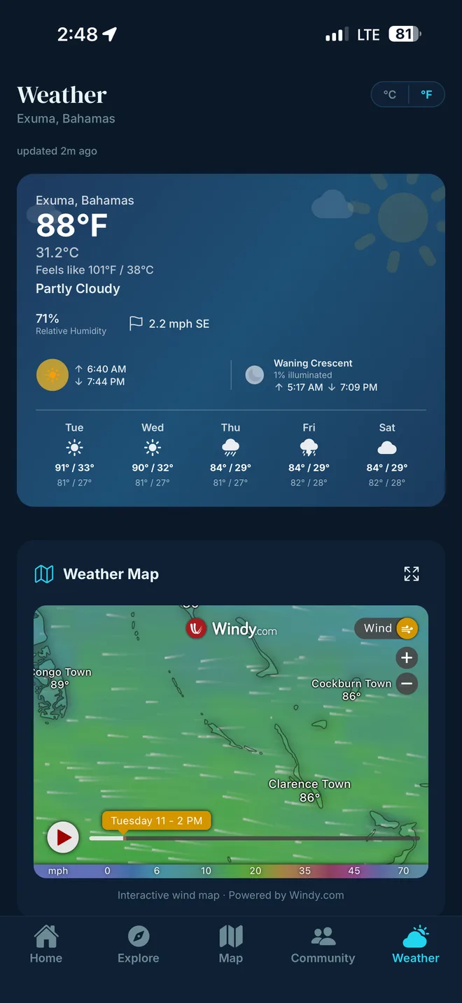
Hourly forecasts, tide charts, marine wind and wave height, and a live radar. Know before you leave the dock.
The Exuma travel guide app
Find researched beaches, restaurants, boat tours, rentals, and places to stay across Great Exuma, Little Exuma, and the cays. Check live tides and weather, then save your map and itinerary before cell service disappears.
Browse Exuma places →Live conditions and today's tides from our Moriah Harbour weather station on Great Exuma — updated continuously.
Use these practical guides and directories to choose where to go, what to book, and what conditions to check before each day.
Work through arrival, where to stay, transportation, beaches, tours, weather, and tides in a practical order.
Open the planning guide →Rental cars, groceries, cash, tides, boat days, weather, and the details that make a first trip easier.
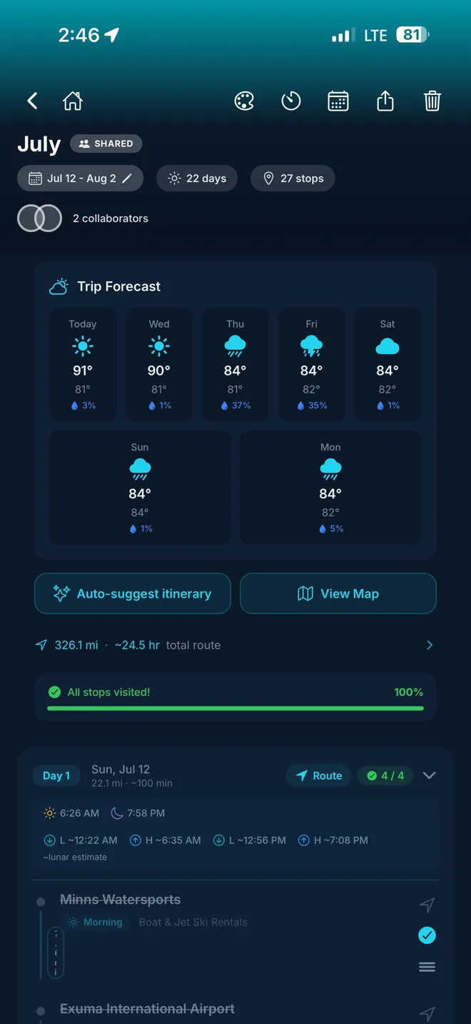
Read the first-time guide →Save places, build day-by-day plans, check tide and weather context, and share your itinerary from the app.
Build your itinerary →Choose the right airport and final transfer for Great Exuma, Little Exuma, Stocking Island, Staniel Cay, or another cay.
Plan your arrival →Compare beaches across Great Exuma, Little Exuma, and the cays by access, tides, shade, and trip style.
Plan a beach day →Understand where the swimming pigs live, how boat trips work, and how to visit responsibly.
Read the Pig Beach guide →Browse beaches, restaurants, snorkeling, tours, rentals, lodging, services, and landmarks.
Explore every category →Compare operators and excursions for Pig Beach, sandbars, snorkeling, sharks, and island hopping.
Browse Exuma tours →Browse hotels, resorts, villas, guesthouses, and vacation rentals around the islands.
Browse places to stay →Compare location, meals, beach access, activities, transfers, and what is actually included before booking.
Compare resort stays →Carefully researched places, independent listings, and maps you can download before you lose signal.
Independent by design: ratings and reviews come from travelers who've been there — businesses can't pay to change them. Listings updated September 2026.
Hourly forecasts, tide charts, marine wind and wave height, and a live radar. Know before you leave the dock.
Cell coverage gets patchy the moment you leave Great Exuma. Save the map, the places, and your itinerary first — they stay available without a signal.
Quiet beaches that don't show up on Google Maps, lesser-known snorkel spots, and the small places worth a detour — alongside the big-name stops you came for.
Beaches, restaurants, bars, dive sites, boat charters, rentals, fuel docks — filter by what you need, see what's near you.
From travelers who've actually been. Photos, ratings, and the small details that matter — like whether the boat had shade or how long the wait was for lunch.
Drop spots onto a day, get the right tide and sunset times for that date, share the plan with whoever you're traveling with.
A map full of places, trip days built around the tides, live marine conditions, and the practical details you need once you're on the islands.
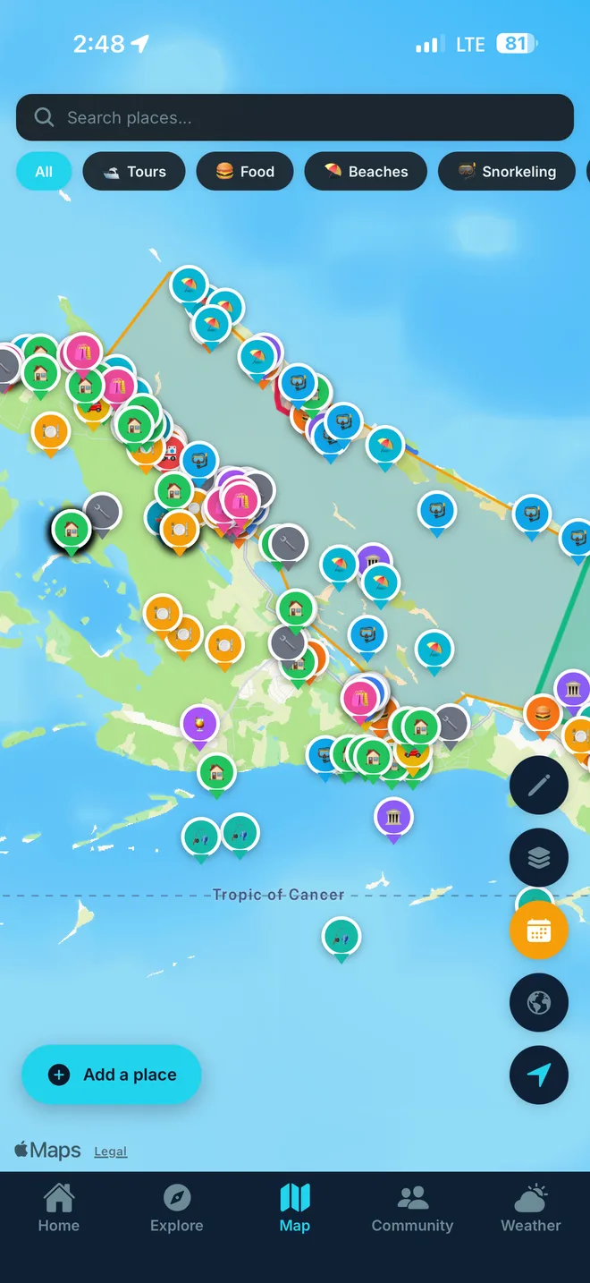
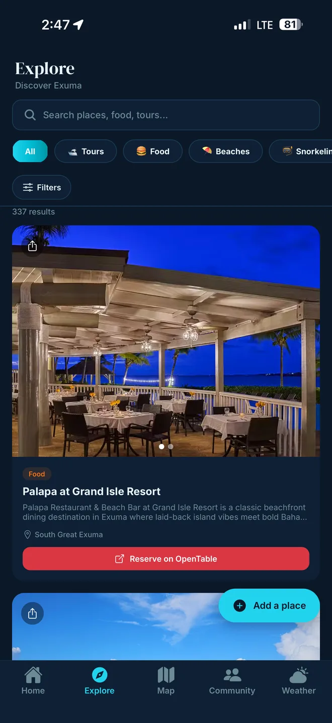
Hundreds of places across Great Exuma, Little Exuma, and the cays — with descriptions, photos, ratings, hours, and directions inside the app.
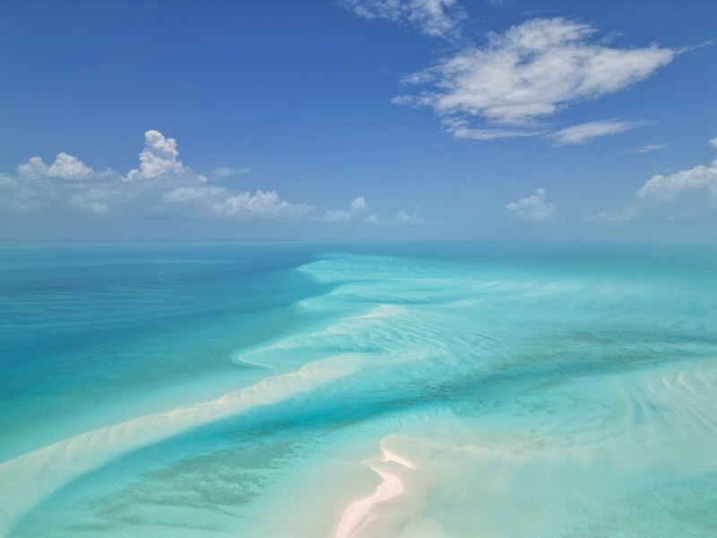
From the postcard-perfect Tropic of Cancer Beach on Little Exuma to the powder-soft sand at Coco Plum, Jolly Hall, and Hooper's Bay — find calm shallow water, snorkel-friendly coves, and quiet stretches with almost no one on them.
Browse beaches →
Fresh-caught fish, cracked conch, peas ’n’ rice, and rum cake. Discover seafood shacks, waterfront grills, and the iconic Chat ’N’ Chill on Stocking Island — with menus, hours, and price ranges.
Browse restaurants →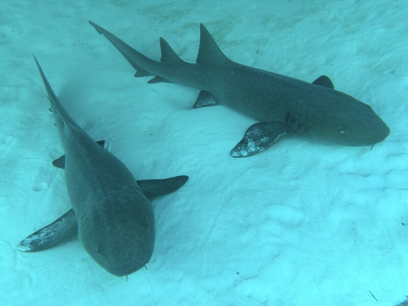
Thunderball Grotto (yes, the James Bond cave), the Sea Aquarium, Mystery Cave, and dozens of reef sites along the Exuma Cays Land & Sea Park. We list the best entry points, depth, and what you'll likely see.
Browse snorkeling →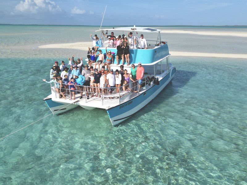
Swimming pigs at Big Major Cay, the friendly nurse sharks at Compass Cay, the iguanas of Allen's Cay, and the sandbar at low tide. Compare full-day charters, half-day trips, and group tours by price and reviews.
Browse tours →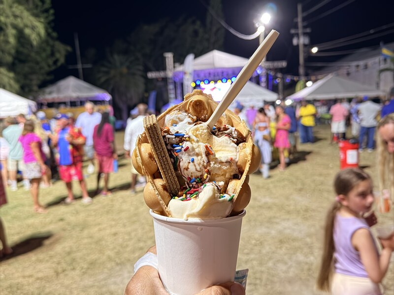
Sky Juice (gin, coconut water, sweet milk), Bahama Mamas, and ice-cold Kalik on the beach. From Chat ’N’ Chill's pig-roast Sundays to laid-back George Town spots, find where to land after a day on the water.
Browse bars →
Beachfront villas, boutique resorts, family-run guesthouses, and condos around George Town, Hoopers Bay, and Williams Town. Compare amenities, pool/beach access, and proximity to the airport (GGT).
Browse lodging →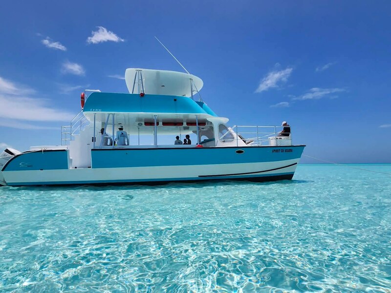
Center consoles, Boston Whalers, pontoons, and jet skis — with or without a captain. Essential for reaching the swimming pigs, Stocking Island, and the cays. We list horsepower, capacity, fuel policy, and rental duration.
Browse rentals →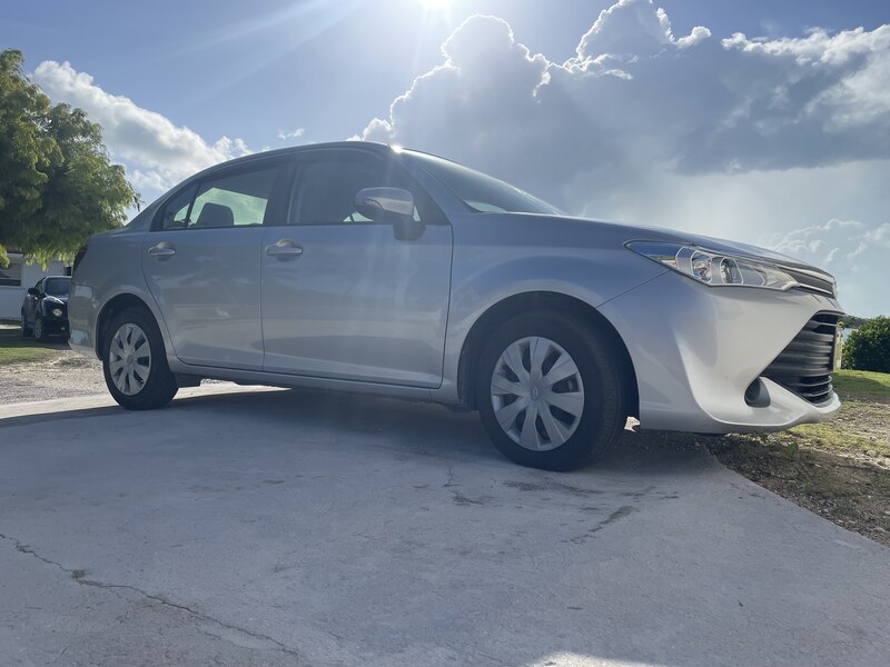
Cruise the Queen's Highway end-to-end — from Williams Town in the south to Barreterre in the north. Most agencies pick up at Exuma International Airport. Remember: driving is on the left in the Bahamas.
Browse car rentals →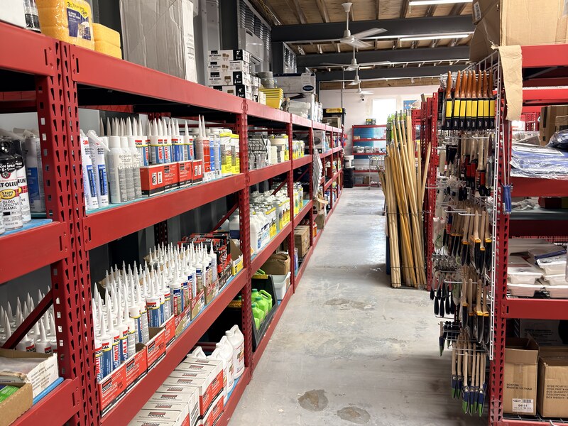
Straw markets, Bahama Hand Prints, local art, hot sauces, fresh produce, and beachwear. Pick up groceries before a boat day or find a hand-made souvenir to bring home.
Browse shopping →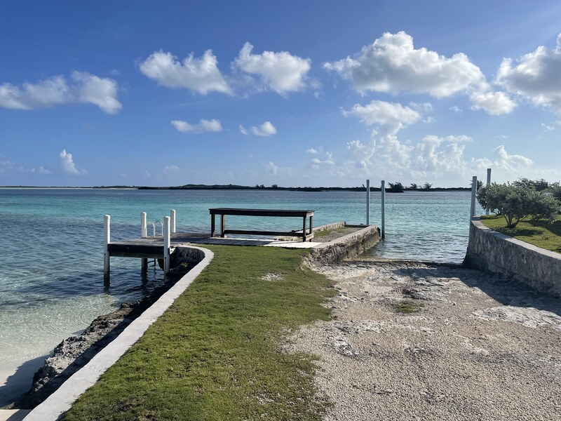
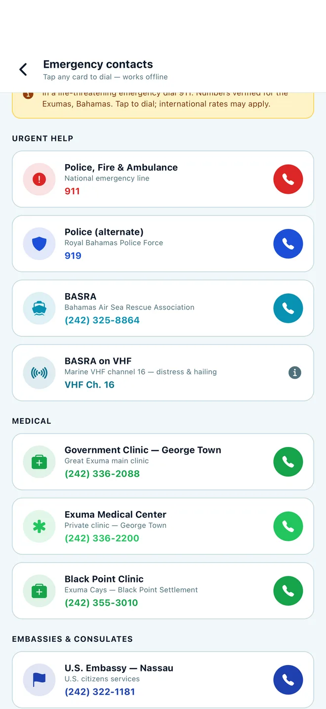
Fishing guides, dive shops, photographers, laundry, medical, ATMs, banks, and trusted taxi drivers. The practical stuff that makes a trip easier — with contact info ready to tap.
Browse services →The Exumas are an island chain in The Bahamas known for boating, snorkeling, diving, sport fishing, protected waters, and beaches that range from easy road stops to boat-only cays. Plan around the island where you are staying, the tide and weather, and the services available at your destination.
Most trips start in George Town on Great Exuma — home to Exuma International Airport (GGT), with seasonal direct flights from cities like Miami, Fort Lauderdale, Atlanta, and Toronto, plus frequent connections through Nassau. From there, you can drive the length of Great Exuma and Little Exuma on the Queen's Highway, take a water taxi to Stocking Island, or charter a boat out to the cays: Staniel Cay (Thunderball Grotto, swimming pigs), Compass Cay (nurse sharks), Allen's Cay (iguanas), and Norman's Cay (sunken plane).
The best time to visit is mid-November through April, when temperatures sit around 75–82°F (24–28°C), trade winds are steady, and rainfall is low. May through October is warmer and wetter, with peak hurricane risk in August and September. Exuma uses the Bahamian dollar (BSD), pegged 1:1 with the US dollar — US dollars are accepted everywhere.
Exuma Secrets is free to download and free to use — every place, review, tide chart, and forecast is included, supported by ads. Premium is $0.99 a month: it removes the ads, unlocks unlimited trip plans (free covers three), adds offline map downloads, and lets you post community events. Full details on the pricing page.
Yes — you create a free account when you first open the app. Everything in the free tier stays free once you're signed in: every place, review, tide chart, and forecast.
Yes — that's the point. Cell coverage gets patchy the moment you leave Great Exuma. Your saved places and itinerary stay available without a signal, and Premium adds downloadable island map tiles so the map itself keeps working on the water.
No. Ratings and reviews come from travelers who've been there, and they can't be bought or edited by a business. Businesses can pay for clearly separate things — like a listing fee or featured placement — but that never changes a rating or a review.
Listings are checked and updated continuously — most recently September 2026. Hours and prices in Exuma shift with the season, so every listing also shows dated traveler reviews you can judge for yourself.
Scan the QR with your phone, or download the app from the App Store or Google Play before you board the flight.
Scan with your camera to open this page on your phone